PORTLAND AERIAL DRONES


PROFESSIONAL DRONE SERVICES |
INDUSTRIAL APPLICATIONS | CINEMATOGRAPHY | PUBLIC SAFETY

At Portland Aerial Drones, we pride ourselves on excellence. While the FAA's new guidelines mandate a Part 107 pilot license for commercial drone operators, we go a step further. We don't just meet these benchmarks – we exceed them. Our drones are steered by seasoned aviators holding PPL, CPL, and ATP credentials. This advanced expertise offers a unique capability to coordinate instantly with local ATC, allowing for expanded flight permissions in diverse airspace conditions.


Portland Aerial Drones Was Created To Bring Imaging To A New Level. 

We Strive For 100% Customer Satisfaction And Guarantee Our Work.  We Are A Team Of Certified Pilots That Can Conduct Operations From: 

  • Real Estate Listings
  • Construction Site Phase Surveys
  • Recreational Events
  • Security Operations
  • Traffic Control
  • Search & Rescue Missions 

We're building an industry, not just a company.


HD Photos & Video


Capture breathtaking & detailed imagery to monitor progress, gather data, and highlight completed work.

Easy Scheduling


Save time scheduling. Simply tell us about your project and we'll take care the rest.

Experienced Professionals


We understand how aerial imagery elevates your business. Get the variety of angles, distances, and directions need.

Completely Custom


We tailor our services for your needs, whatever you need. Let us know what you're looking for and how we can help out.

Fast Turnaround


Easy scheduling and fast turnaround makes completing projects a snap. We share your edited images as soon as they're ready.

Nationwide


Get the same great experience and high quality wherever you need your aerial imagery.


Professional Drone Services For Buildings And Construction


Monitor and track progress from the sky with detailed aerial photos. We capture images from various altitudes, distances, and directions to give you the full picture of your project. Get updates on a weekly, monthly, or yearly basis to understand how your project is progresssing.


Commercial And Residential Real Estate

Aerial Images Designed To Capture Attention


Provide your customers with what your competitors don’t.  Aerial imagery and interesting angles can impress both clients and prospective buyers.  These unique perspectives can help you stand out both on the web and in front of potential clients. 


Commercial Real Estate


Identify and promote hidden selling points including anchor tenants, location, and access.


Residential Real Estate


Beautifully display your listing’s best features and attract & influence new buyers.


Why Use Portland Aerial Drones?


We treat every drone project big or small with the same expert professionalism.  If we say we are going to do something we do it, our reliability and responsibility are second to none.  We strive to deliver aerial footage and data on all projects that will exceed your expectations.


With a network of teams across the USA we can save our clients’ money on travel and accommodation costs.  We provide expert local knowledge and have the contacts for a fast turnaround on flight permissions.

PROFESSIONAL STANDARDS

Portland Aerial Drones has invested heavily into the latest and current professional level aerial drones on the market. With safety being the priority of our operation all our aerial platforms are serviced and maintained in-house.

RISK ASSESSMENT


Prior to and upon arriving at location our drone team’s will complete a comprehensive risk assessment to ensure the safety of your crew, observers and the general public.


INSURED


We carry a worldwide $3 million public liability insurance policy to ensure we are covered for every eventuality. Additionally if you are looking to supply your own payload we can provide comprehensive insurance cover.


Utility Inspection

Detail-rich aerial photos for informed & actionable decisions


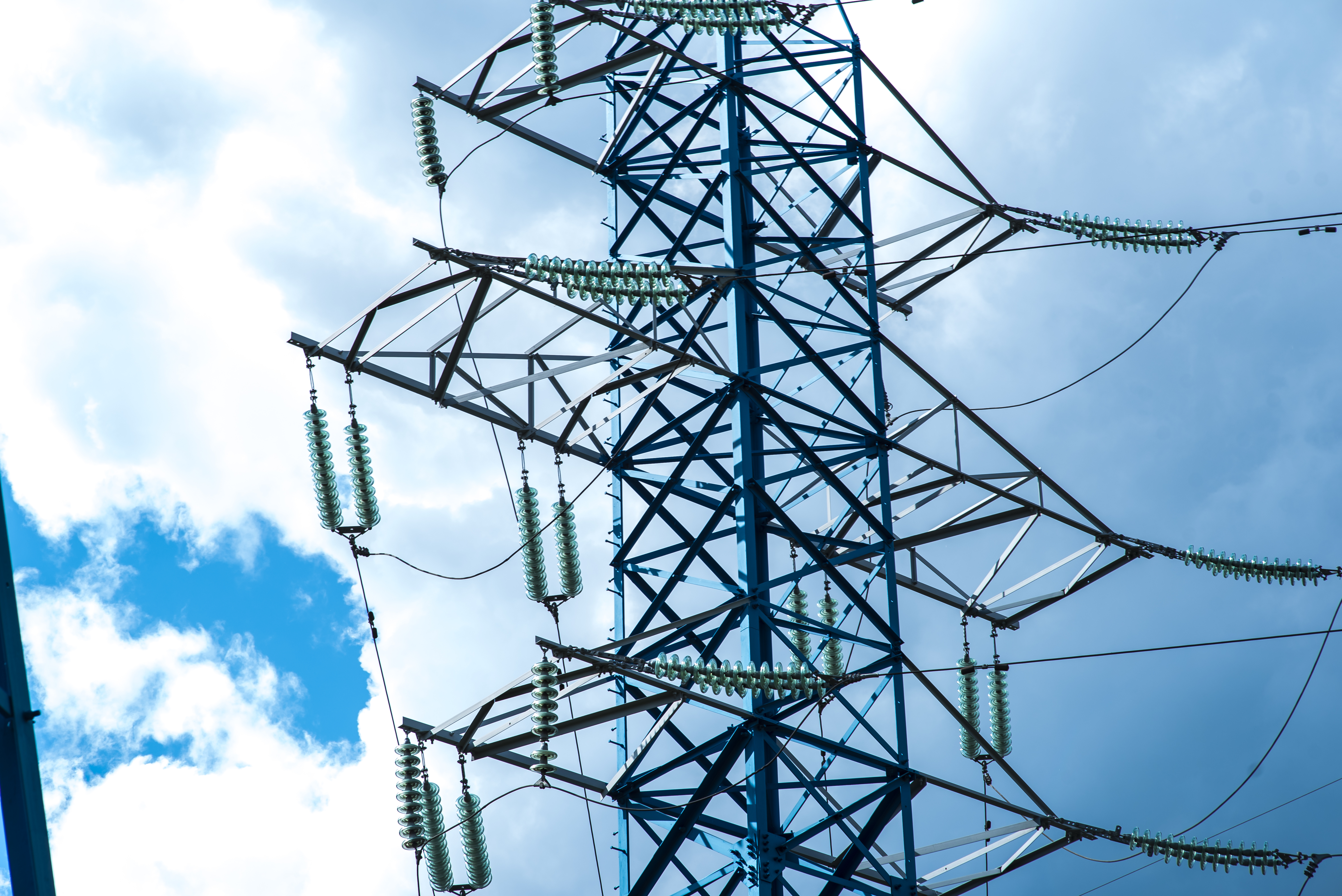
Portland Aerial Drones is setting the new standard for drone tower inspections.  The content we capture from our highly skilled pilots combined with access through the NEST provides actionable data to allow you to work smarter, faster, and safer.


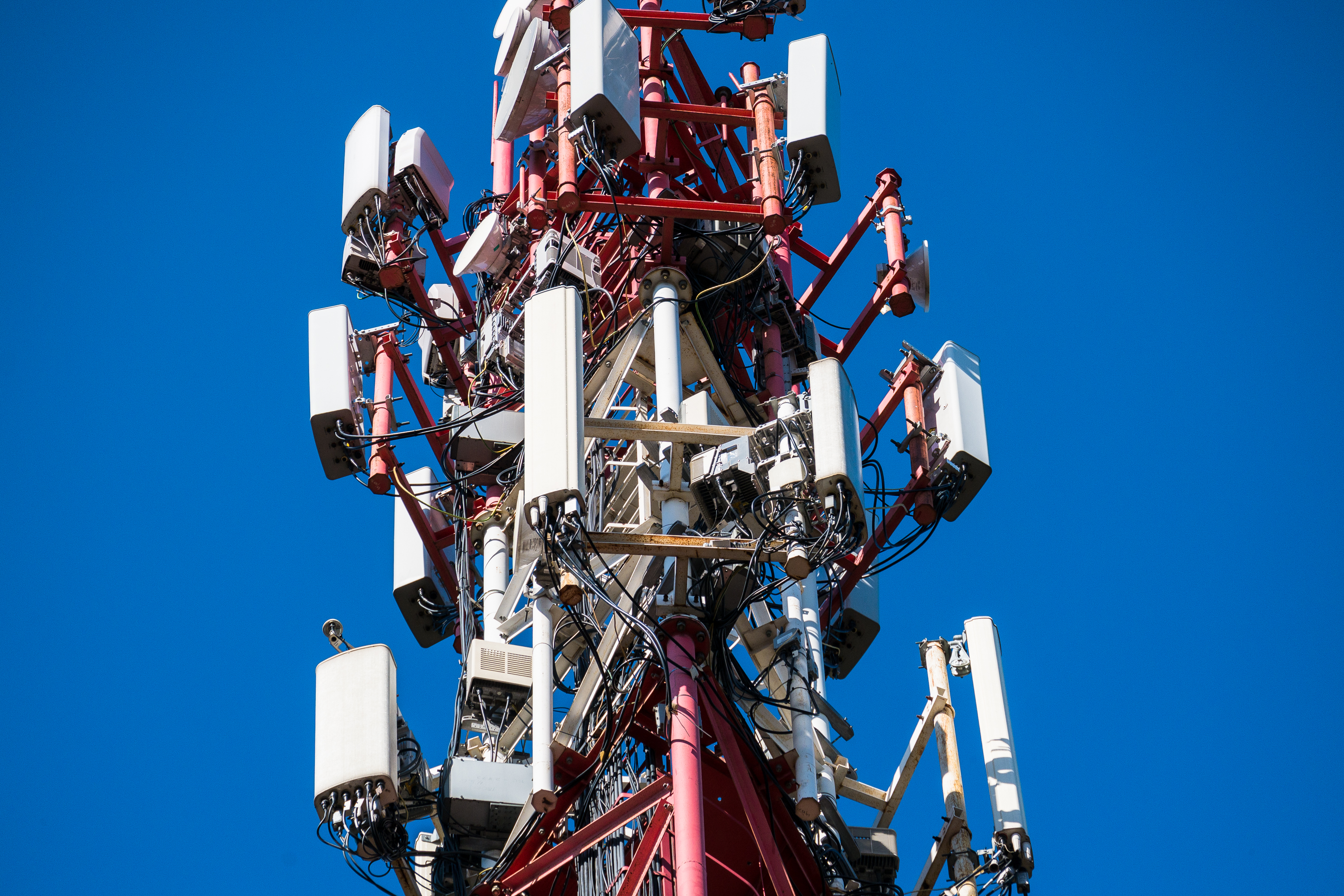
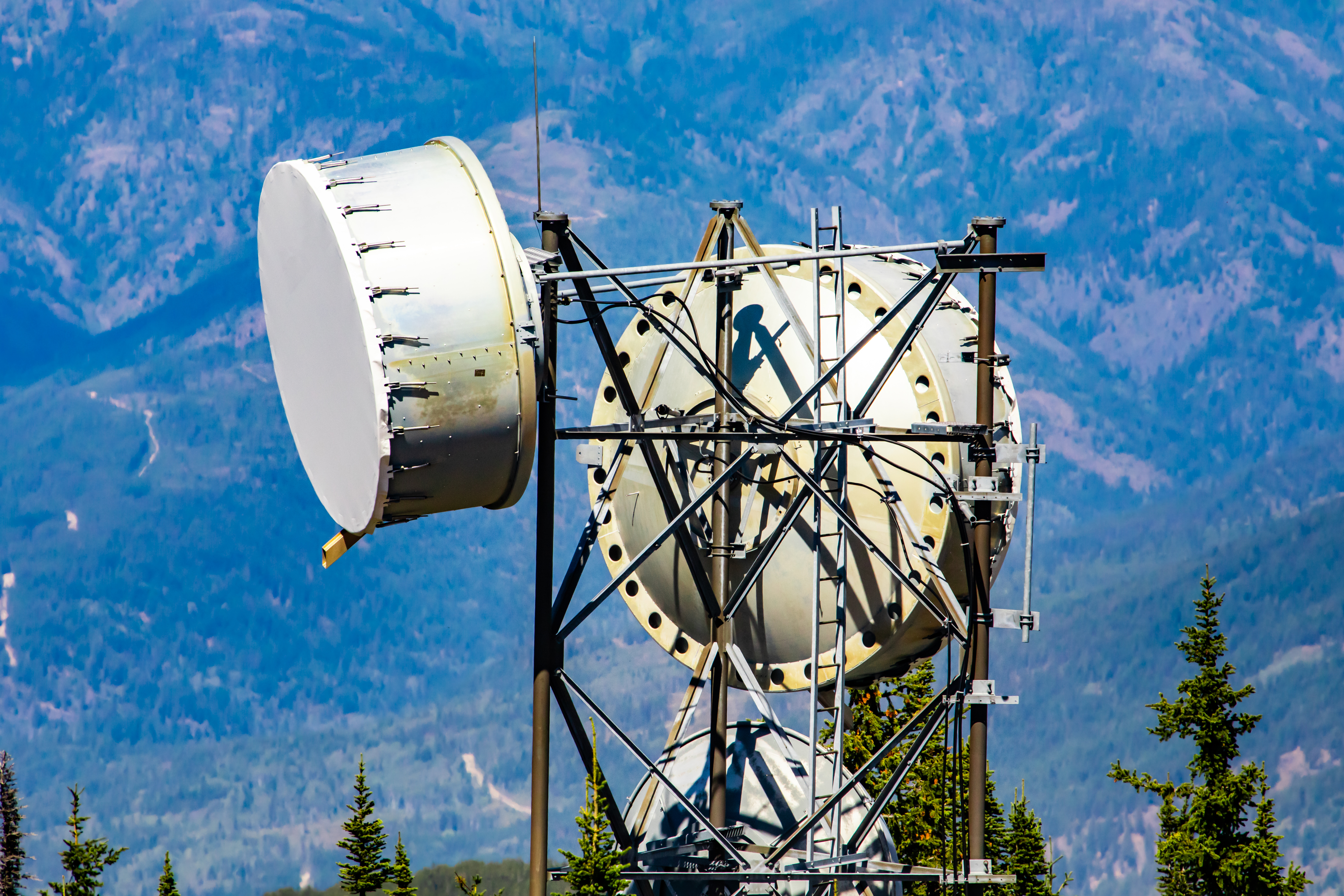
Portland Aerial Drones captures data of antenna sectors to produce mount mapping & analysis reports.  These reports show the dimensions of the structure, size and location of project mounts, tower connection details and mount loading.   By using drones, we lower costs, increase safety, and provide a faster solution.


Learn more about our services or request a quote for your project.


The FAA strictly regulates where drones are legal to fly. Therefore, all properties are subject to airspace approvals prior to project completion.


We specialize in difficult airspace situations and have existing wide area authorizations for most major metro area airports.


Field is required
Field is required Incorrect email
Field is required
Field is required
Field is required
Field is required
Field is required
Your message was sent successfully
Sorry, your message was not sent